Mount Pollino Hiking and Rafting
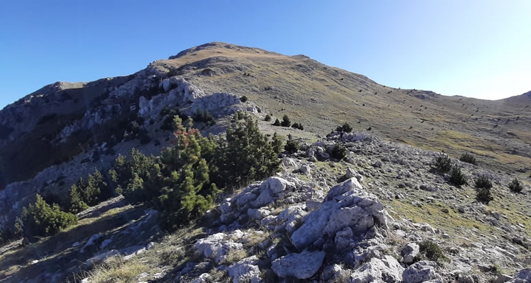
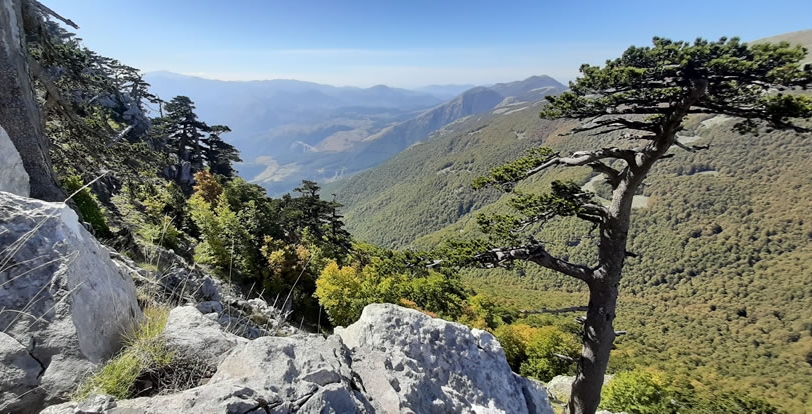
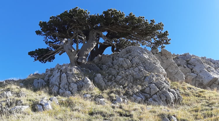
We are on the majestic Mount Pollino, at a height of 2248 meters it is one of the highest mountains in the Basilicata region of Southern Italy. Here we will find unique fauna and flora, like the Pino Loricato tree, the symbol of the largest protected area in Italy: the Pollino National Park, located between the territories of Basilicata and Calabria.
Day 1 / Trekking
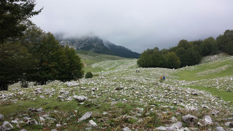
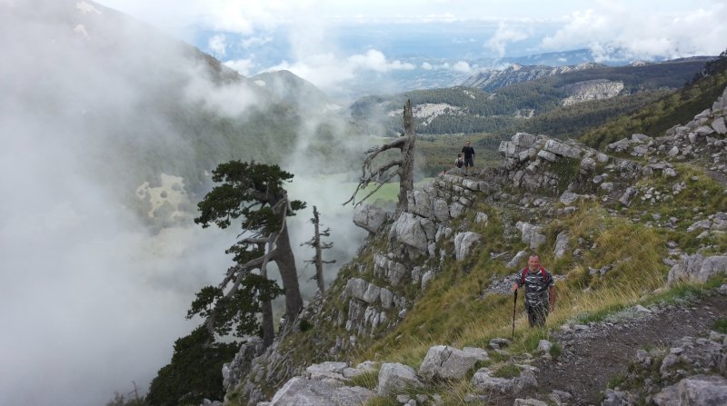
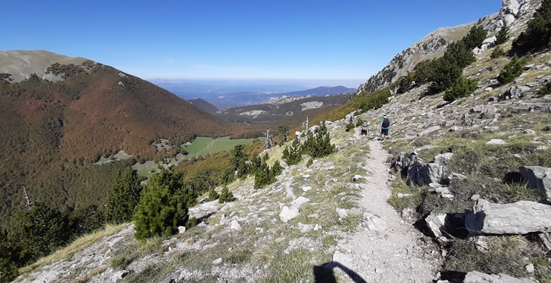
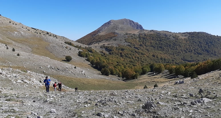
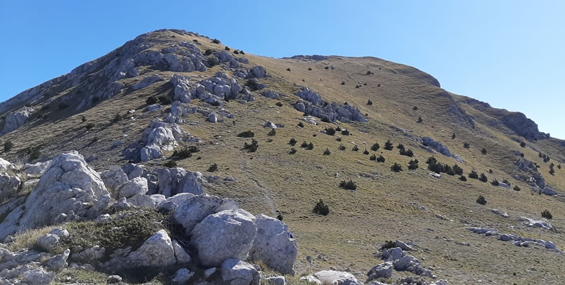
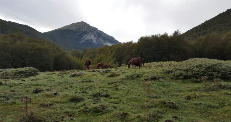
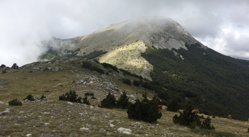
The first day of our arrival we will leave directly for the trek, starting from Colle Impiso.After the first two km through beautiful forests, we will easily reach Piano delle Ciavole, where we have an opportunity to view wild horses, from here we reach the summit of Mount Pollino in two hours.We will then decide whether to continue towards Dolcedorme 2267 mt, the highest peak in the National Park, from where it is possible to see the volcano Etna.
We will return on the same trail, with a total of about 17 km.
Upon our return, we will check-in our rooms at an agriturismo, in a quiet environment where we will have dinner prepared with local produce.
Day 2 / Rafting
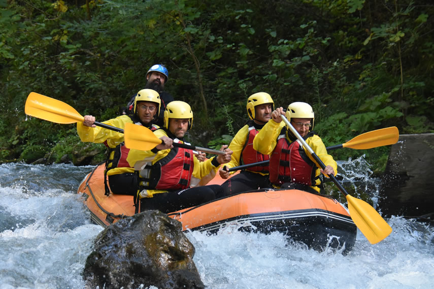
After breakfast, we will reach the village of Papasidero, where we meet our friends of Rafting Adventures Lao to explore wild and unspoiled nature. We board our raft for a two-hour adrenaline-filled adventure, facing the rapids of the river through breathtaking scenery, accompanied with an experienced local guide, Length descent 11 km.
After a well-deserved shower, we will have a barbecue prepared by our friends.
Total duration 4 hours including 30 minutes of briefing and 1 hours for travel and washing equipment.

Distance: 17 km ![]()
Altitude diff.: +700 m ![]()
Total duration: 6 ore ![]()
Difficulty: “H” (Moderate)![]()
Equipment:![]()
Hiking shoes, walking sticks, hat, sun glasses, water, anorak.


Contact Us
For this excursion we need to check dates and places available.
Fill in the fields below and send me a message, I will reply as soon as possible providing all the details.

T = Tourist – Itinerary on small roads, stairs, mule tracks or wide paths. The routes generally do not require specific training other than that typical of the walk; suitable for everyone.

H = Hiking – Routes on paths or obvious traces in various types of terrain (pastures, debris, stones …). They are generally marked with red and white paint or only red They can also take place in snowy environments but only slightly inclined. They require training to walk even for a few hours and stress on the knees for the presence of long stretches of stairs, suitable for all.

EH = Experienced hikers – these routes are generally signposted but with some difficulty: the terrain can be made up of slippery slopes of grass, mixed of rocks and grass, rocks, although paths that do not require special equipment you can present individual rocky passages easy to climb (use of hands in some places). They require surefootedness and absence of vertigo. The physical preparation must be adequate for a day of fairly continuous walking.